Nous utilisons des cookies pour améliorer votre expérience. Pour nous conformer à la nouvelle directive sur la vie privée, nous devons demander votre consentement à l’utilisation de ces cookies. En savoir plus.
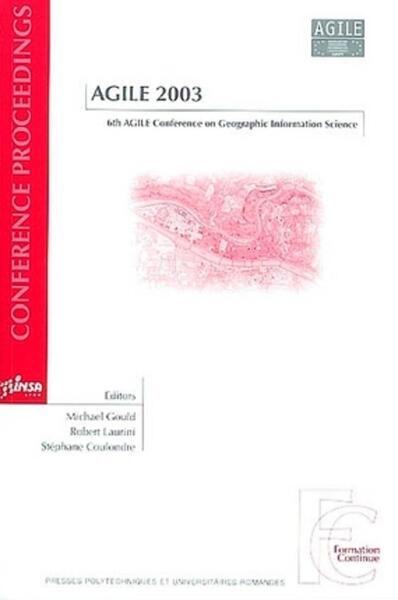
AGILE 2003 - 6TH AGILE CONFERENCE ON GEOGRAPHIC INFORMATION SCIENCE
EAN : 9782880745417
Paru le : 29 mai 2003
-
 Livraison gratuite
en France sans minimum
de commande -
 Manquants maintenus
en commande
automatiquement -
 Un interlocuteur
unique pour toutes
vos commandes -
 Toutes les licences
numériques du marché
au tarif éditeur -
 Assistance téléphonique
personalisée sur le
numérique -
 Service client
Du Lundi au vendredi
de 9h à 18h
- EAN13 : 9782880745417
- Réf. éditeur : G16409
- Collection : P U POLYTEC ROM
- Editeur : Pu Polytechnique
- Date Parution : 29 mai 2003
- Disponibilite : Epuisé
- Barème de remise : NS
- Nombre de pages : 787
- Poids : 1.601kg
- Interdit de retour : Retour interdit
-
Résumé :
The mission of the Association of Geographic Information Laboratories for Europe (AGILE) is to promote academic teaching and research at the European level, and to facilitate networking activities between geographic information laboratories, including focused meetings based on state-of-the-art presentations on key research issues and European geographic information research conferences. The AGILE Conferences on Geographic Information Science (CIS) have become an essential meeting place for European researchers and practitioners, where they meet and exchange ideas and experiences at the European level. These proceedings regroup the papers given in the Lyon conference held in April 2003 and presenting the more advanced results in CIS.
Au sommaire
- Environment and disaster management
- Ontology and semantics
- Location-based services 1
- Images semantics
- Interoperable services
- Education
- Environmental risk management
- e-Government
- Location based services 2
- Spatial temporal
- Data policy
- Urban
- Dimensional
- Data usability
- Land cover
- Ontology and metadata
- Decision support systems
- Decision support systems
- Spatial data infrastructure
- Author index


