Nous utilisons des cookies pour améliorer votre expérience. Pour nous conformer à la nouvelle directive sur la vie privée, nous devons demander votre consentement à l’utilisation de ces cookies. En savoir plus.
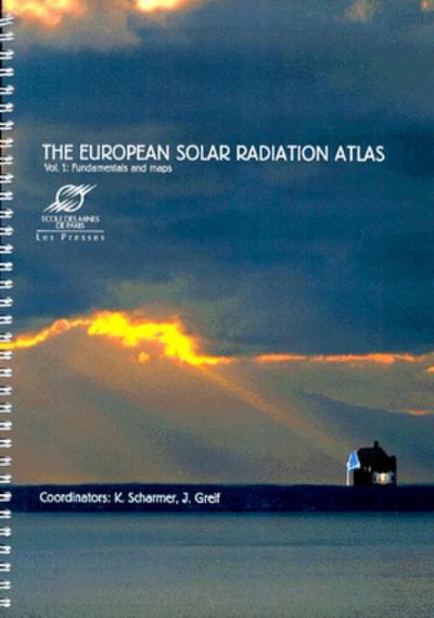
The European Solar Radiation Atlas - Volume 1
EAN : 9782911762215
Paru le : 25 août 2000
-
 Livraison gratuite
en France sans minimum
de commande -
 Manquants maintenus
en commande
automatiquement -
 Un interlocuteur
unique pour toutes
vos commandes -
 Toutes les licences
numériques du marché
au tarif éditeur -
 Assistance téléphonique
personalisée sur le
numérique -
 Service client
Du Lundi au vendredi
de 9h à 18h
- EAN13 : 9782911762215
- Réf. éditeur : G76221
- Collection : TRANSVALOR
- Editeur : Ecole Des Mines
- Date Parution : 25 août 2000
- Disponibilite : Disponible
- Barème de remise : NS
- Nombre de pages : 126
- Format : H:298 mm L:221 mm E:15 mm
- Poids : 617gr
- Interdit de retour : Retour interdit
-
Résumé :
This atlas offers a unique instrument dedicated to the knowledge and exploitation of the solar resources for Europe in a broad sense, from Ural to Azores and from Northern Africa to Polar Circle.
It is a powerful tool for architects, engineers, meteorologists, agronomists, local authorities, tourism professionals, as well as researchers and students.
It covers the period 1981-1990. It offers fundamental knowledge on the solar radiation available at groundlevel, which is of primary importance for both the life and the climate (including the ocean) since it is the primary source of energy on Earth by far.
This book describes the course of the Sun across the sky as it varieties throughout the year and with the geographical location. The interactions of the solar radiation with the atmosphere and its components (haze, turbidity, clouds, etc.), and the separation of the radiation into the direct and diffuse parts are discussed. The importance of the solar radiation in various domains is presented, with an emphasis on solar engineering, where solar energy is used to provide electricity in photovoltaics systems, to supply hot water or heat houses. Ground radiation measurement techniques and instruments are described. Satellite images are also used. They are combined with ground measurements to provide a synoptic view of the distribution of the solar radiation over Europe. The structure of the database and its main applications are described. 26 coloured maps (ten years average 1981-90) describe the solar radiation and its direct and diffuse parts. They also detail the changes with time.
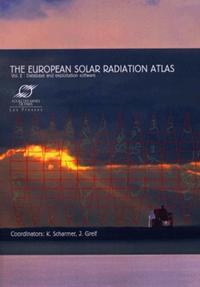
The value of the atlas can be usefully extended by using it in conjunction with the complementary volume and CD-ROM called: The European Solar Radiation Atlas - vol. 2: database and exploitation software, also published by Les Presses de l'Ecole des Mines. The database offers spatial (every 10 km approximately) and temporal knowledge for different timescales (front climatological means -more than 700 stations- to hourly values -7 stations-) on the solar resources: irradiation (global and its components), sunshine duration, as well as air temperatures, precipitation, water vapour pressure, air pressure in a number of stations. The software uses the database in either a "map" or a "station" mode at user choice. Once a station been selected, the program looks for all the data available for this station. The software includes algorithms covering the following fields: solar geometry, optical properties of the atmosphere, estimation of hourly slope irradiation under cloudless skies, estimation of solar irradiation values (going from daily to hourly values, conversion from horizontal to titled surfaces), spectral irradiance, illuminance, daily mean profiles of temperature and other statistical quantities (central moments, extremes, probability, cumulative probability and utilizability curves). Graphics can be displayed in 2 or 3 dimensions. Some applications studies on solar engineering can be performed too.
This Atlas bas been realised on behalf of the European Commission, by a team led by the company GET (Jülich, Germany), and comprising the Deutsche Wetterdienst (Hamburg, Germany), Armines/Ecoles des Mines de Paris et de Nantes (France), Instituto Nacional de Engenharia e Tecnologia Industrial (Lisbon, Portugal), the Technical University of Lyngby (Denmark), the World Radiation Data Centre (Saint-Petersburg, Russia), and Institut Royal de Météorologie (Brussels, Belgium), John Page (Sheffield, United Kingdom) and Robert Dogniaux (Brussels, Belgium) acting as advisors.

